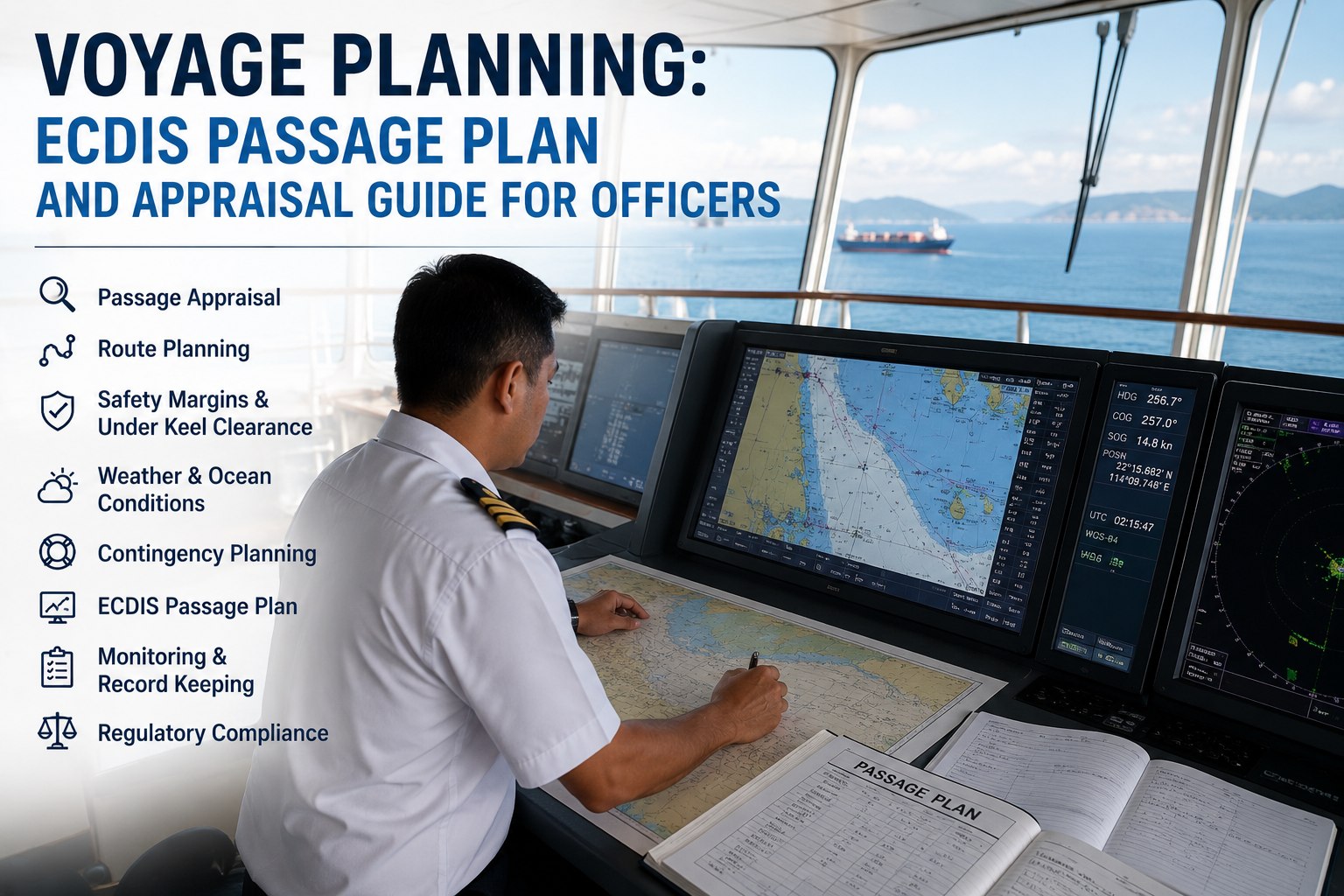
A voyage plan is the single document that stands between a ship and the two things that end careers and lose vessels: grounding and collision. Long before the lines are let go, the entire passage from the departure berth to the arrival berth — including every mile under pilotage — is appraised, plotted, checked against every charted hazard, and turned into a route the bridge team can follow and monitor watch after watch. This is not paperwork for its own sake. Passage planning is a mandatory procedure for every voyage of every SOLAS ship regardless of size or type, and it exists because the overwhelming majority of groundings trace back to a plan that was inadequate, ignored, or never properly made. On a modern bridge the plan lives in ECDIS, where the route is checked electronically against the chart, the safety contour draws the line between water the ship can float in and water it cannot, and the cross-track corridor defines where it is safe to be. But the tool has not changed the discipline: the same four stages that governed paper-chart planning govern ECDIS planning, and a route drawn carelessly in ECDIS is as dangerous as one drawn carelessly in pencil. This guide walks through voyage planning as the navigation officers and masters who own it must execute it — the four stages of appraisal, planning, execution and monitoring, the ECDIS settings that make a plan safe, and the contingency thinking that keeps a ship out of trouble when the passage does not go as drawn. To keep passage plans, bridge documentation and the records that prove compliance organised across your fleet, start a free trial or book a demo.
INDUSTRY GUIDE · SAFE NAVIGATION
Voyage Planning: ECDIS Passage Plan and Appraisal Guide for Officers
A working guide for navigation officers and masters to berth-to-berth passage planning on ECDIS — the four stages of appraisal, planning, execution and monitoring, the safety-contour and cross-track settings that keep a route safe, and the contingency planning that matters when the passage does not go as drawn.
The Regulatory Basis and the Four Stages
Passage planning is required under SOLAS Chapter V, Regulation 34, on safe navigation, supported by the detailed IMO guidelines in Resolution A.893(21) and the competence standards of the STCW Code. The core obligation is simple and absolute: the master must ensure a passage plan is prepared from berth to berth, including the areas where a pilot will be on board. Pilotage is part of the plan, not an exception to it.
The guidelines structure the work into four stages that run in sequence and then, in the last two, continuously through the voyage. They are the spine of the entire discipline, and every navigator knows them by name.
The information-gathering stage, done before any track is plotted. The master and navigating officer assemble and assess everything that could affect the voyage: charts of appropriate scale, whether paper or electronic navigational charts covering the whole intended passage; sailing directions and pilot books; lists of lights and radio signals; tide tables and tidal stream atlases; and all relevant notices to mariners. To these are added the vessel's own data — current draft forward and aft, GM, speed capability, and any class or navigational restrictions such as ice class — and weather forecasts for the voyage duration and port information for both ends and any intermediate calls. Appraisal is where the risks along the route are identified before a single course line exists.
The appraisal's information is turned into a detailed, plotted route from berth to berth. Waypoints and course legs are laid down, no-go areas marked, the safety contour and safety depth set, under-keel clearance calculated for the whole passage, course-alteration and wheel-over points fixed, abort points and contingency anchorages identified, and traffic separation schemes and ECA boundaries incorporated. On ECDIS the plotted route is checked electronically against the chart using the route check function, which scans the planned corridor for charted dangers so they can be addressed before departure. The plan is completed only when both the ECDIS route and the voyage planning form are ready, reviewed and approved by the master.
The stage that runs the plan during the voyage. IMO deliberately made execution part of passage planning to stress that the plan is a living document, not a filed formality: the bridge team carries out the plan, adjusting speed for tides, daylight arrival and traffic, and the master reviews or changes the plan when circumstances demand — weather, defects, or new information. Executing the plan well means using it actively as the basis for decisions on the bridge, not treating it as something completed once and forgotten once the ship sails.
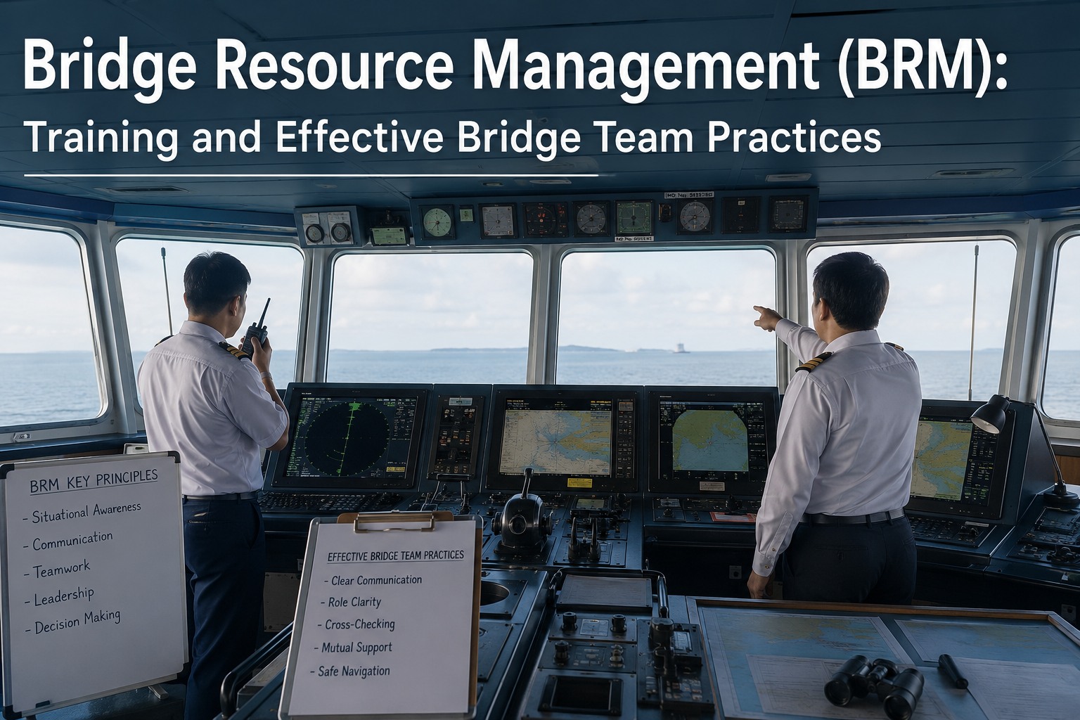
The continuous checking that the ship is where the plan says it should be, throughout the voyage. The ship's position is fixed regularly by all available means and cross-checked, the vessel is kept within the planned cross-track corridor, and progress against the plan is watched so any deviation is caught early. Monitoring is a bridge resource management activity — the whole watch team involved, positions independently verified, and no single source of position trusted blindly — because the plan protects the ship only if adherence to it is actively confirmed, mile after mile.
i
The ECDIS route and the voyage plan form are both required
A route drawn in ECDIS is a visual plan; the voyage planning form is its documented counterpart. Both are needed. The ECDIS route gives the bridge team the corridor to follow and monitor against, while the form is the reviewable record — vessel and voyage particulars, the appraisal, the leg-by-leg detail, the contingencies — that captures the thinking behind the route and demonstrates the plan was properly made. A passage plan is complete only when both exist, are reviewed, and are signed by the master, and inspectors and investigators look at both. One without the other is an incomplete plan.
Keep the plan and its record together
The ECDIS route and the voyage planning form are two halves of one plan, and both are what compliance rests on. Marine Inspection keeps bridge and passage-planning documentation organised per vessel, so the record behind every voyage is complete, reviewable and ready when a Port State Control officer or an investigator asks.
The ECDIS Settings That Make a Plan Safe
ECDIS does not make a plan safe on its own — it makes a plan safe only when its safety settings are configured correctly for the specific ship and voyage. A handful of settings do the heavy lifting, and misunderstanding them is a recognised source of grounding.
Safety contour
Set at the safety depth, the safety contour is the line ECDIS uses to define the generally no-go water — the depth below which the ship must not go. It is the single most important safety setting, dividing navigable water from water that would ground the vessel, and it drives the system's own anti-grounding alarms.
Safety depth
Calculated from the ship's draft plus the required under-keel clearance, minus height of tide, the safety depth is the depth the ship needs beneath it. It sets the safety contour and highlights soundings shallower than it, so the navigator sees at a glance which charted depths are a threat.
No-go areas
Regions the ship must avoid — shoals, wrecks, restricted zones, water inside the safety contour — marked on the plan so they are unmistakable. Identifying and marking no-go areas during planning is what turns a chart full of information into a clear picture of where the ship can and cannot go.
Cross-track distance (XTD)
The width of the safe corridor either side of the planned track for each leg, checked clear of dangers during planning. Staying within the XTD corridor means staying in pre-checked safe water, which both protects the ship and reduces bridge workload by clearly showing where it is safe to be.
Under-keel clearance
The margin of water beneath the keel, calculated for the whole passage and especially the shallow and tidal legs, accounting for squat and the state of tide. Adequate under-keel clearance is planned into the route, not hoped for, and it is a core output of the planning stage rather than a check made underway.
Route check and CCRP
The route check function scans the planned corridor against the chart for dangers before departure, and the consistent common reference point ensures the ship's dimensions and sensor positions are correctly entered so the displayed position and safety margins are true to the actual vessel.
Systemic misuse of safety margins is a deficiency
Safety settings only protect the ship if they are respected. Port State Control treats the unreasonable and systematic use of the safety margins — routinely planning or navigating outside the safe corridor, or setting the safety contour or cross-track limits so loosely that they no longer mean anything — as a deficiency, because it hollows out the very protection the plan is meant to provide. The corridor and the contour are not obstacles to work around; they are the boundaries of safe water. Planning legs that cut inside the safety contour, or habitually running outside the cross-track limits, defeats the purpose of having them and is exactly the pattern that precedes groundings.
Contingency Planning and the Living Document
A plan that only works when everything goes right is not a plan. The mark of a well-made passage plan is that it anticipates things going wrong and builds in the room and the options to respond, and that it is treated as a living document to be revised rather than a fixed track to be followed off a cliff.
Good contingency planning is woven into the route from the start. Abort points are identified — the last positions at which the ship can safely break off an approach and turn back before committing to a channel or berth — along with contingency anchorages, alternative routes and safe waiting areas, so that if a berth is not ready, visibility collapses, a tug fails or traffic blocks the intended track, the response is already planned rather than improvised under pressure. The parallel indexing and clearing bearings that let the team verify position by radar against the plan are laid down in advance. And crucially, the plan is understood to be a living document: the master reviews and amends it whenever circumstances change, and any significant deviation is a decision made deliberately against the plan, not a drift away from it. This is where the four stages come full circle — execution and monitoring feed back into the plan, and the plan is updated to reflect the voyage as it actually unfolds. The ships that stay out of trouble are the ones where the plan was appraised thoroughly, plotted with proper margins and no-go areas, checked against the chart, configured correctly in ECDIS, monitored actively by the whole bridge team, and revised honestly when reality diverged from the drawing. The plan is not the piece of paper or the ECDIS route; it is the disciplined thinking those things capture, applied continuously from berth to berth. To keep passage plans, bridge order books and the compliance record organised and reviewable across your fleet, start a free trial or book a demo.
Frequently Asked Questions
What are the four stages of voyage planning?
Appraisal, planning, execution and monitoring, as set out in IMO Resolution A.893(21) and required under SOLAS Chapter V Regulation 34. Appraisal is gathering and assessing all information affecting the voyage before any track is drawn. Planning is plotting the detailed berth-to-berth route with waypoints, no-go areas, safety contour, under-keel clearance and contingencies, checked against the chart. Execution is running the plan during the voyage, adjusting for tide, traffic and daylight. Monitoring is continuously confirming the ship stays on the planned track by regular, cross-checked position fixing. The last two run continuously through the voyage, and the plan is treated as a living document.
What does berth-to-berth passage planning mean?
It means the passage plan must cover the entire voyage from the departure berth to the arrival berth, including the areas where a pilot will be on board, with no gaps. SOLAS Chapter V Regulation 34 requires the master to ensure the plan is prepared on this basis, so pilotage waters are planned as part of the voyage rather than left to the pilot alone — the bridge team retains responsibility and situational awareness throughout. Berth-to-berth planning ensures there is no stretch of the voyage, including the most demanding pilotage and port-approach legs, that has not been appraised, plotted and checked in advance.
What is the safety contour in ECDIS?
The safety contour is the depth line ECDIS uses to separate navigable water from generally no-go water — the depth below which the ship must not go. It is set at the safety depth, which is derived from the ship's draft plus the required under-keel clearance adjusted for tide, and it drives the system's anti-grounding alarms and highlighting. It is the single most important ECDIS safety setting, because it defines, for that specific ship and loading, exactly where the water becomes too shallow. Setting it correctly for the actual draft and required clearance is fundamental to safe ECDIS navigation.
What are no-go areas and how are they used?
No-go areas are the regions a ship must not enter — shoals, wrecks, restricted zones and any water inside the safety contour — identified and marked during the planning stage so they are unmistakable to the bridge team. They turn a chart full of individual dangers into a clear picture of where the ship can and cannot safely go. Marked on the ECDIS plan and the voyage planning form, they let the team see at a glance whether the planned track and its cross-track corridor stay clear of danger, and they are a key part of the pre-departure route check that confirms the whole corridor is safe before the voyage begins.
Why is under-keel clearance calculated during planning?
Because adequate water beneath the keel must be designed into the route, not discovered underway. Under-keel clearance is the margin between the deepest part of the ship and the seabed, and it must account for the ship's draft, squat at speed, and the state of tide along shallow and tidal legs. Calculating it during planning determines which legs are safe, what tidal windows are needed, and what speed keeps squat within limits, so the route is built around adequate clearance rather than the ship arriving at a shallow patch and finding it has too little. It sets the safety depth and therefore the safety contour, tying directly into the ECDIS safety settings.
Is the ECDIS route enough, or is a paper plan still needed?
The ECDIS route is only half of a complete plan. A route drawn in ECDIS is the visual plan the bridge team follows and monitors against, but the voyage planning form — whether printed or digital — is its documented counterpart, capturing the appraisal, the leg-by-leg detail, the contingencies and the vessel and voyage particulars. Both are required, reviewed and signed by the master, and both are examined by inspectors and investigators. The ECDIS route shows where to go; the form records the thinking that shows the plan was properly made. A plan is complete only when both exist together.
Why is the passage plan called a living document?
Because it must be reviewed and amended whenever circumstances change, not followed rigidly regardless of reality. IMO deliberately made execution and monitoring part of passage planning to stress that the plan continues to be worked throughout the voyage: the master adjusts it for weather, traffic, defects, tidal windows and new information, and any significant deviation is a deliberate decision made against the plan rather than an unnoticed drift from it. Treating the plan as fixed and following it off into danger is exactly the failure the living-document principle guards against. The four stages come full circle, with execution and monitoring feeding revisions back into the plan.
Plan Berth to Berth. Prove It Was Done Right.
Marine Inspection keeps passage plans, voyage planning forms, bridge order books and the navigation compliance record organised and reviewable per vessel — so the appraisal, the route, the safety settings and the contingencies behind every voyage are documented and ready for Port State Control or an investigation. Turn safe navigation from scattered bridge paperwork into a complete, defensible record across the fleet.